The Finder apps · made in New Hampshire
Read the ground before you walk it.
Phone apps that read terrain, habitat, cover and water, then rank the places most likely to give you a chance to see deer, ducks, grouse, trout and more. Hunt, fish, watch or photograph: every spot comes with plain reasons you can check yourself.
Free accounts · live today in New Hampshire, Vermont, Maine and Long Island
The lineup
One engine. Every kind of ground.
Each app has its own free account, so you only use what you're after. They share one map engine, one set of rules and one support inbox.
Get the app
No app store needed.
Each Finder app installs straight from its website to your phone's home screen. It opens full screen like any other app, and areas you've already opened still show up in the woods with no signal.
iPhone or iPad
- Tap Download on the app you want, in Safari.
- Tap the Share button at the bottom of the screen.
- Scroll down, tap Add to Home Screen, then Add.
Android
- Tap Download on the app you want, in Chrome.
- Tap the ⋮ menu at the top right.
- Tap Add to Home screen (or Install app), then Install.

Why we built them
Picking the spot is the hard part.
Most of us get a handful of days outside each season. The gear, the weather and the shot, cast or photo all come after one decision: where to go. Across big, rolling northern country, that decision is harder than it looks.
It all looks the same from the road
Miles of hardwoods, marsh and brook look alike from a truck window. Wildlife doesn't use it all evenly.
Reading a topo map takes years
Spotting a funnel, a feeding flat or a holding pool on a map is a skill most of us learn slowly.
Scouting eats the season
Walking unfamiliar ground to find one good spot can cost the mornings you were saving.
Getting in is half the battle
A great spot isn't much use if you can't legally get to it, or if the land allows walking but not hunting. Better to know that at home.


Every Finder app
What the apps show you.
Search an address or tap your location. The app checks the map nearby against set criteria and gives you ranked waypoints, each explained in plain English.
Where the ground points
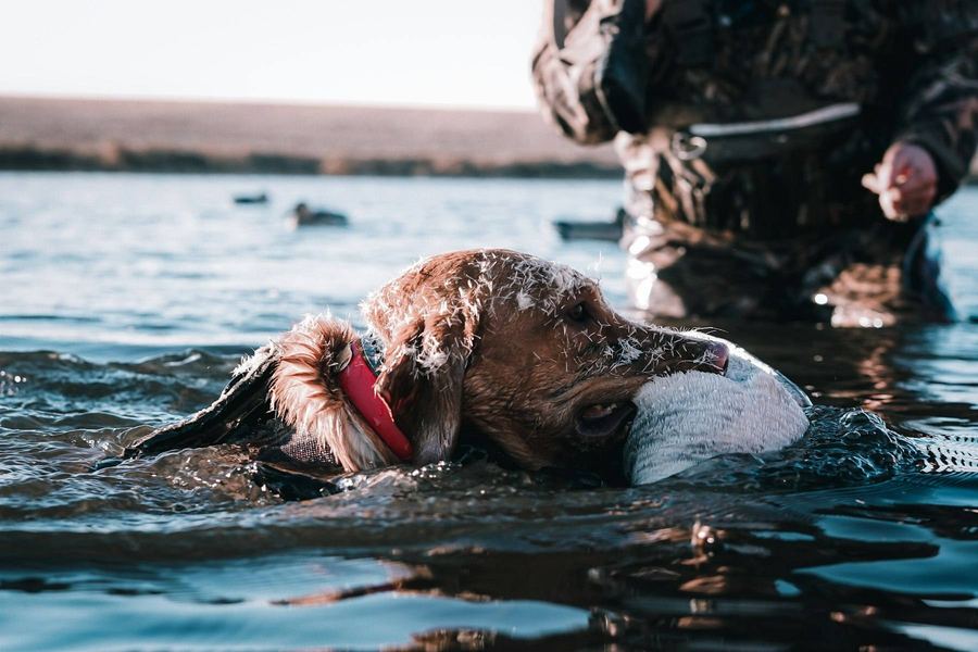
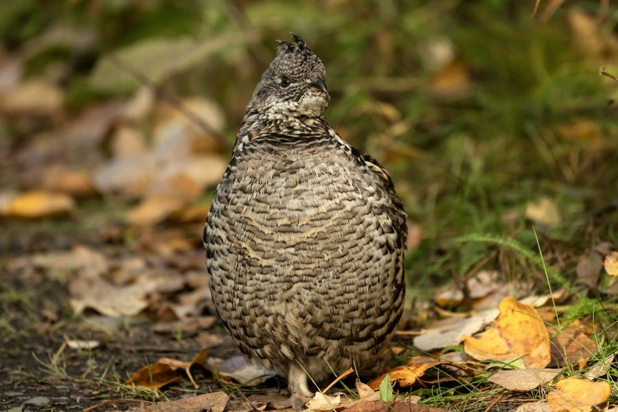
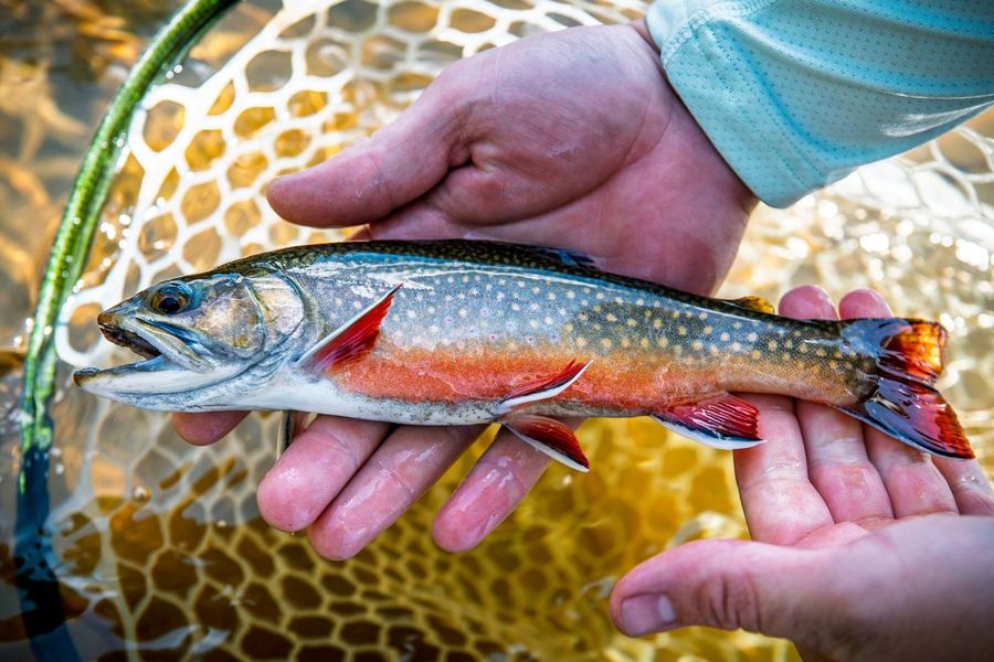
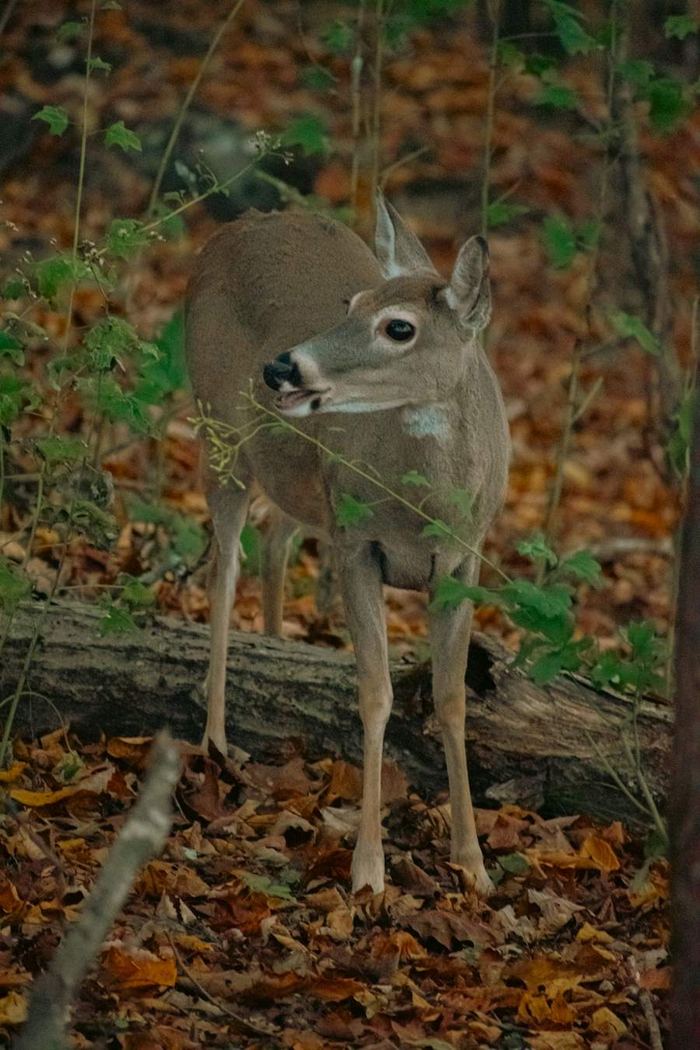
Deer funnels, duck feeding flats, grouse cover and trout holds, found from terrain, habitat, cover and water data.
Ranked, with the reasons
Each spot says why it ranks, so you can judge it against what you know.
Public parking and walk-ins
Suggested parking is a public lot, and walk-in lines stay on public land. Private land is marked and gets no directions. A route is not permission to hunt or fish there; check that land's own rules.
Your own log, on your phone
Track your movement, drop waypoints and log what you see. It stays on your phone unless you turn on backup.
Through the year
There's a Finder for most of the calendar.
Deer and grouse share the same October woods. Ducks carry you into winter, and trout water opens up in spring. Watching and photographing wildlife has no season at all.
Approximate months for hunting and fishing seasons, for planning only. Dashed bars are apps still in development. Seasons, dates and rules differ by state and zone and change every year. Check that state's wildlife agency before you go (links in Rules and ID).

Straight talk
What the apps can't tell you.
- They can't see wildlife. They show where the land and habitat steer animals, not whether animals are there today.
- They don't tell anyone to hunt, fish or go anywhere. They check a map against set criteria and share the waypoints most likely to offer a chance to see a given species. That's all a spot means.
- They don't show property lines or give permission to hunt, fish or enter anywhere. Some land, public or private, allows walking or wildlife viewing but not hunting. Spots on private land are marked "Private Land · Permission may be required" and get no directions. Landowner permission and every state's rules are on you.
- Land cover comes from 2021 national data, so recent logging may not show. Small benches and ledges under about 10 m can be missed.
How we check our work
Every spot shows its reasons, so you can judge it against ground you know. No Finder app charges until its own field test shows its picks beat a simple baseline. Funnel Finder's test, with hunters pinning real deer sign, is underway, and Grouse Finder's beta hunters are logging flushes and empty walks this fall.
Know before you go
Know what you're looking at, and the rules where you are.
Every state sets its own seasons, limits, protected species, land rules and safety zones. Learning them and following them is your responsibility, whether you're hunting, fishing or just watching. These official pages are a good place to start.
Tell look-alikes apart
Some protected species look almost the same as ones that can be hunted. If you can't be sure what it is, don't shoot.
- New England vs eastern cottontailYoung Forest Project: size, forehead spot, ear edges
- New England cottontail in New HampshireNH Fish and Game species profile
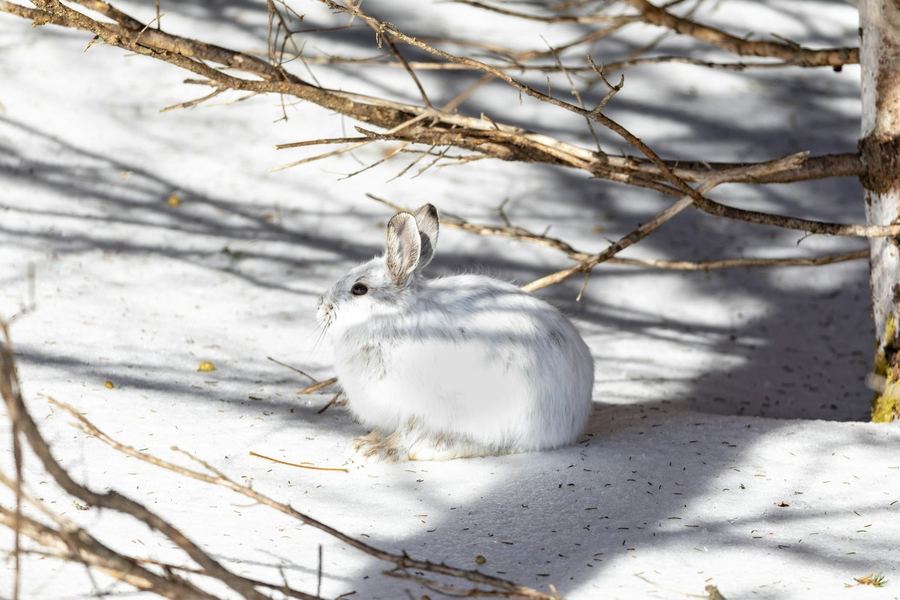
- Snowshoe hare vs cottontailMaine Inland Fisheries and Wildlife
- Snowshoe hareNH Fish and Game: feet, coat change, sign
- Spruce grouse vs ruffed grouseSpruce grouse have no open season in NH or Maine and are endangered in Vermont
- Black duck vs hen mallardDucks Unlimited waterfowl ID
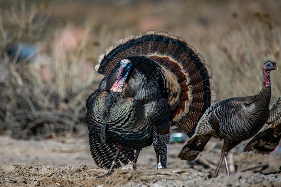
- Turkey hens vs gobblers, and bearded hensNH Fish and Game
State rules
Seasons and limits change every year. Check the current rules for the state and zone you're in before you go.
- New Hampshire hunting digestOfficial digest published for NH Fish and Game · fishing
- Vermont hunting regulationsVermont Fish and Wildlife · fishing
- Maine hunting laws and rulesMaine Inland Fisheries and Wildlife
- Massachusetts hunting regulationsMassWildlife
- Connecticut hunting and trappingCT DEEP
- Rhode Island hunting guideOfficial guide published for RI DEM
- New York hunting and trapping guideNY DEC
- New Jersey huntingNJ Fish and Wildlife
- Pennsylvania hunting digestPA Game Commission · fishing (Fish and Boat Commission)
A spot is a map reading, not an invitation.
The apps never tell anyone to hunt, fish or go to a place. A ranked spot only means the map there fits what a species tends to use. Before you go, confirm the land is open to you for what you plan to do, get permission where it's needed, and follow that state's rules.
Plans
Free to use. Paid plans later.
Every live Finder app is free with a free account. Paid Starter and Pro plans aren't open yet, and nobody is charged until an app passes its own field test. We'll post prices here before they open.
| App | Free account | Paid plans | Status |
|---|
When paid plans open, checkout and billing run through Stripe on each app's own site. We never see or store your card number.
Before you sign up
Common questions
Does it work?
Will it tell me where the deer or ducks are right now?
No. The apps read the land: terrain, habitat, cover and water. They show where those features steer or hold wildlife, which is what an experienced hunter or naturalist looks for on a map. Whether animals are there on a given day depends on pressure, weather, food and luck.
Are the apps only for hunters and anglers?
No. A spot is simply a place where the habitat gives you a better chance to see a species. Plenty of people use the apps to watch, photograph or learn the land, with no plan to hunt or fish.
How do I know the spots are any good?
Every spot comes with its reasons, so you can check them against what you know. We also field-test each app against real sign logged in the field, and no app charges until its test passes. Try a free account on ground you already know. If the top spots make sense there, that's your best test.
How is this different from onX, HuntStand or Google Maps?
Those are maps you read yourself. The Finder apps do the first read for you: they work through the ground near an address and hand you a ranked shortlist with reasons. Many people use both, a Finder to pick spots and their usual map for boundaries and scouting.
Where do the apps work?
Today: Funnel Finder covers New Hampshire and Vermont. Marsh Finder covers Long Island, NY. Grouse Finder covers New Hampshire. Trout Hold Finder covers Vermont, New Hampshire and Maine. Turkey Finder and Small Game Finder are in development.
Over time we're building every app toward all of New England, New Jersey and Pennsylvania, one state at a time and with no dates promised. Each app's card lists only the states it covers today.
Does it work without cell service?
Areas you've already opened stay available offline, so open your area at home on Wi-Fi before you head in. GPS tracking works without a signal.
Accounts, plans and refunds
What do I get free?
A free account in each app gives you the heat map within 2.5 miles of your search point, movement tracking, waypoints and 5 spot searches. You need an account to search, so we can record that you've accepted the app's terms. Hunters invited to a beta, Marsh Finder and Grouse Finder this season, get Pro free in that app during the beta.
When can I buy a paid plan?
Not yet. Starter and Pro plans are built but switched off. They open app by app, only after that app passes its own field test. We'll post prices here first. If you want to hear when an app opens, use the same email for your free account.
What will Starter and Pro add?
Starter widens the heat map to 5 miles around your search point and adds weather and solunar times and up to 3 suggested spots per search. Pro widens the heat map to 30 miles and adds spots on private land, marked "Private Land · Permission may be required" so you know to ask. Pro gives no directions to private land.
What if I'm not happy with a paid plan?
Once paid plans open: a full refund within 7 days of your first payment on a monthly plan, or within 30 days on a yearly plan. Tap Refund in the app's Account panel; you don't have to email anyone or explain. It's once per customer per app.
Will paid plans renew automatically? How do I cancel?
Yes. Monthly plans will renew each month and yearly plans each year. You'll cancel any time from Manage billing in the app's Account panel.
If I want two apps, do I need two subscriptions?
Yes. Each app is sold separately, so you never pay for a season you don't use. Use the same email for each, so your accounts stay linked as we add features that work across apps.
Do I need to download anything from an app store?
No. Tap Download on this page, then add the app to your home screen from your phone's browser (see Get the app). It works on iPhone and Android, and updates arrive on their own.
Land, law and privacy
Does a spot mean I'm allowed to hunt or fish there?
No. The apps don't tell anyone to hunt, fish or go anywhere. They check a map against set criteria and share waypoints where the habitat is most likely to offer a chance to see a species. Some land, public and private, allows walking or wildlife viewing but not hunting, and rules differ by state and zone. Confirming what's allowed, and getting permission where it's needed, is always your responsibility.
Does it show property lines?
No. Spots on public land name the land they sit on, so you can check its rules. Parking suggestions are public lots, and walk-in lines stay on public land. On Pro, spots on private land are marked "Private Land · Permission may be required" and get no parking, route or directions.
How do I tell similar species apart, or find my state's rules?
See Know before you go for identification help, including the protected New England cottontail and spruce grouse, and links to every state's wildlife agency we're building toward.
Who sees my spots and the sign I log?
Your tracks, waypoints and log stay on your phone unless you turn on backup to your account. We don't sell or share your spots, pins or location with anyone. A separate option to share pins, without your name or email, to help test the maps is off unless you turn it on.
What does my account keep?
Your email, to sign you in, and a record that you accepted the app's terms and disclaimer. Each app's Privacy policy says how long each is kept.
Who makes these apps?
Northwoods Investment LLC, a small New Hampshire company. The method behind the apps comes from a local hunter who reads land the old way, water first and then any terrain line that differs from the ground around it, now done by computer for every acre.
Free accounts
Try it on ground you already know.
If the top spots make sense where you've hunted, fished or watched wildlife for years, you'll know what it can do on new ground.